
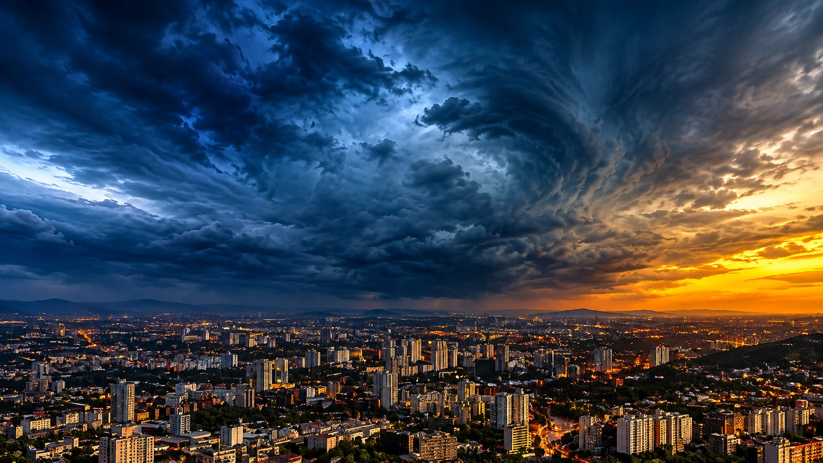
Dangerous storms are heading for parts of KwaZulu-Natal this weekend. The South African Weather Service has issued a level 5 warning for severe thunderstorms. It covers a large part of the province’s inland areas on Saturday, 14 November 2026. Here is what we know, who is affected and what you can do to stay safe.
What SAWS has announced
SAWS says the level 5 warning is for severe storms across parts of KwaZulu-Natal. The warning starts at 13h00 on Saturday and stays in place until midnight the same day.
The inland towns and cities likely to feel the worst of it include Howick, Ladysmith and Newcastle. If you live in or near these areas, treat the warning seriously. Storms can build fast, and conditions can turn dangerous within minutes.
The weather service has also issued a level 2 warning for disruptive rain along the province’s coast. That warning covers the same period, from 13h00 until midnight.
What kind of damage could the storms cause?
The storms are not expected to bring only heavy rain. SAWS has listed several risks that residents should keep in mind.
Flooding is the biggest worry. Water could flood informal settlements and other low lying communities, and some families may be forced to leave their homes. Roads and bridges could also be covered by water, which can cut off whole areas.
Fast moving rivers are another serious danger. SAWS has warned about a risk to life near swollen rivers and streams. On sloping ground, the heavy rain may also trigger mudslides, falling rocks and soil erosion.
Other dangers listed for the affected areas:
- Large amounts of small hail
- Fires started by lightning strikes
- Possible disruption to water, electricity and communication networks
Because the weather can damage infrastructure, even people who are not in the direct path of a storm could lose basic services for a time.
Understanding the warning levels
Many people see a number in a weather alert and are not sure what it means. SAWS uses a colour and number system that rates both the likelihood and the impact of severe weather. Here is a simple table based on the two levels in this alert.
| Warning level | Where it applies | What it means |
|---|---|---|
| Level 5 | Inland KwaZulu-Natal, including Howick, Ladysmith and Newcastle | Medium likelihood of significant impact |
| Level 2 | KwaZulu-Natal coast, including Durban and Richards Bay | High likelihood of minor impact |
| Level 1 | Cape Town | Damaging winds with localised damage |
The table shows why the numbers should not be read on their own. A level 2 warning may sound mild, but the weather service still expects problems such as localised flooding and poor visibility. For the full guide to how the system works, you can visit the official South African Weather Service website.
Level 2 warning along the coast and beyond
The coastal level 2 warning covers large parts of the KwaZulu-Natal coastline, including Durban and Richards Bay. It also reaches Pietermaritzburg, which sits further inland.
SAWS says the rain could cause localised flooding in areas that are already prone to it. Drivers may also struggle with poor visibility. Slippery roads and low visibility can lead to minor road accidents, so motorists should take extra care.
The same warning stretches across the Free State and into the North West. Cities that could be affected there include Rustenburg and Klerksdorp. That makes this a wider weather event than the headline about KwaZulu-Natal suggests.
Wind warning for Cape Town
The weather is not only a story for the east of the country. SAWS has also issued a level 1 warning for damaging winds in Cape Town. The wind could cause localised damage to settlements and temporary structures.
Residents there have been told to secure loose objects. That includes roof sheets, signage and outdoor furniture. It is an easy job to put off, but a loose sheet of metal can become dangerous in strong wind.
Safety advice from SAWS
The weather service has shared clear advice for people in the affected areas. The message is simple: stay safe, stay informed and avoid risks.
Stay indoors and off the roads. If you do not have to travel on Saturday afternoon or evening, it is best to stay home. Storms and flooded roads are a bad mix, and a trip that seems short can turn into a real emergency.
Never cross swollen rivers or fast moving water. It is easy to underestimate how strong flowing water can be. Even shallow water can sweep away a person or a vehicle.
Leave your vehicle if you become trapped. If you are caught in a flood, get out of the car and move to higher ground. Do not wait for the water to rise.
Protect your animals. People in rural areas should move their livestock and other animals to safe, higher ground before the storms arrive.
Call for help when needed. If things become unmanageable, contact your local disaster management authorities. You can also find general information on preparing for disasters on the National Disaster Management Centre website.
Simple steps to prepare before 13h00
Preparing early can make a big difference. These are easy things you can do today, before the level 5 warning takes effect.
- Charge your phone and power banks. If electricity or networks fail, you will want to stay in touch.
- Keep drinking water on hand. The weather service says water services could be disrupted, so a few full containers are a simple precaution.
- Keep a torch and spare batteries nearby. Candles can be a fire risk, so a torch is the safer choice.
- Move important documents and valuables to a high place. This is an easy step if your home sits in a low area.
- Park your car on high ground. Avoid parking near rivers, streams or low lying roads.
- Tell family and neighbours your plans. A simple phone call can help people look out for each other.
Why you should take the warning seriously
South Africans know that storms can change quickly. A calm morning does not mean a safe afternoon. The warning period runs from early afternoon until midnight, so the danger may last for many hours.
It is also easy to forget that the effects of a storm can reach beyond the storm itself. Flooded bridges can cut off communities. Damaged power lines can leave homes dark. Blocked roads can delay ambulances and other emergency vehicles. The safest plan is to avoid unnecessary travel and keep an eye on updates through the day.
Remember that a weather warning is not a prediction that every town will be hit equally. Some areas may see heavy rain and hail, while others get less. But the whole point of a level 5 warning is to give people time to prepare, so it makes sense to act as if your area could be affected.
What to watch for next
Weather warnings can be updated or changed at short notice. Keep checking the official channels of SAWS for the latest information on KwaZulu-Natal and other provinces. Local municipalities and disaster management teams may also share alerts for specific communities.
If you are planning a weekend trip, a braai, a sports event or an outing with the kids, it may be wise to make other plans. Moving an event is a small price to pay for staying safe.
The bottom line
SAWS has issued a level 5 warning for severe storms in parts of KwaZulu-Natal, including Howick, Ladysmith and Newcastle, from 13h00 until midnight on Saturday, 14 November. Level 2 warnings for disruptive rain cover the coast and parts of the Free State and North West, while Cape Town has a level 1 warning for damaging winds.
The advice is clear and simple. Stay indoors where you can, keep off the roads, avoid flooded rivers and low water crossings, and move animals to higher ground. Prepare early, stay informed and look out for your neighbours.
About the Author